About 300 m before reaching the top of Baegundae (in Bukhansan national Park, Seoul, South Korea), there is a fortress gate, various signposts and an arrow pointing to the top. I recorded the altitudes for this segment with a GPS device. Over 300 m, the vertical climb is about 230 m. However you calculate slopes, this is steep. There would be no way to reach the top of this smooth granite megalith without the aid of cables anchored in the rock and various guard rails and stairsteps.
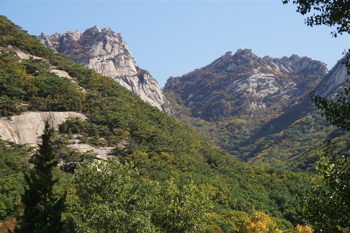

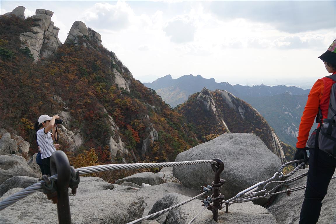
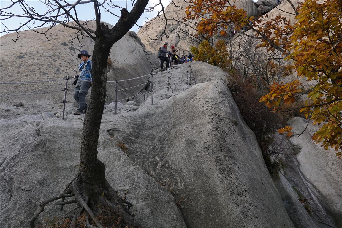
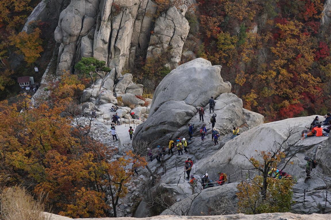
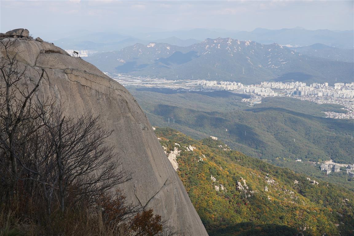
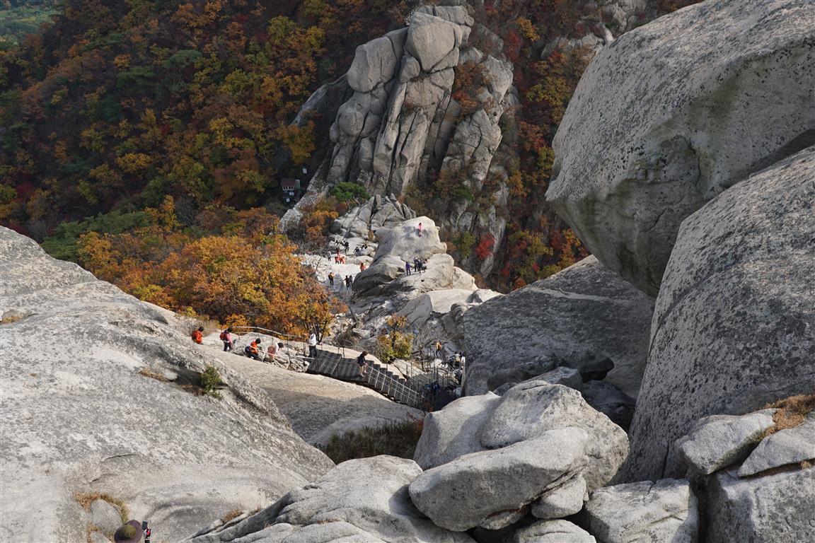
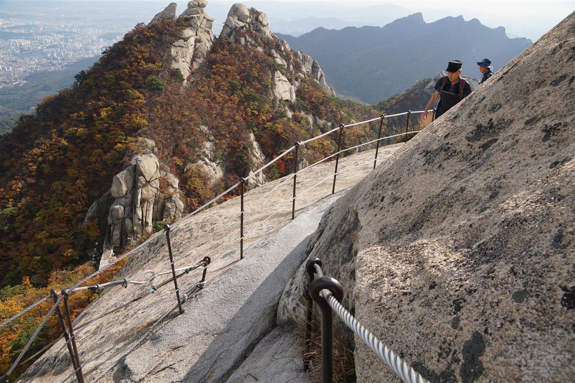
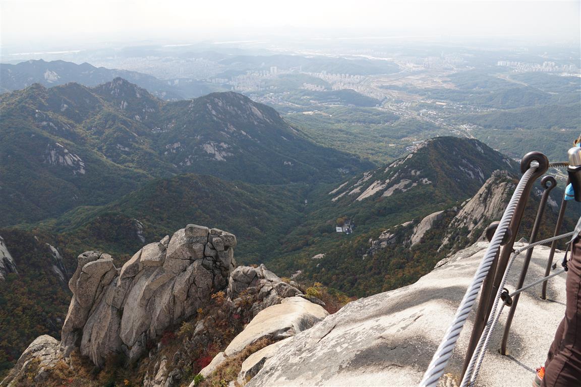
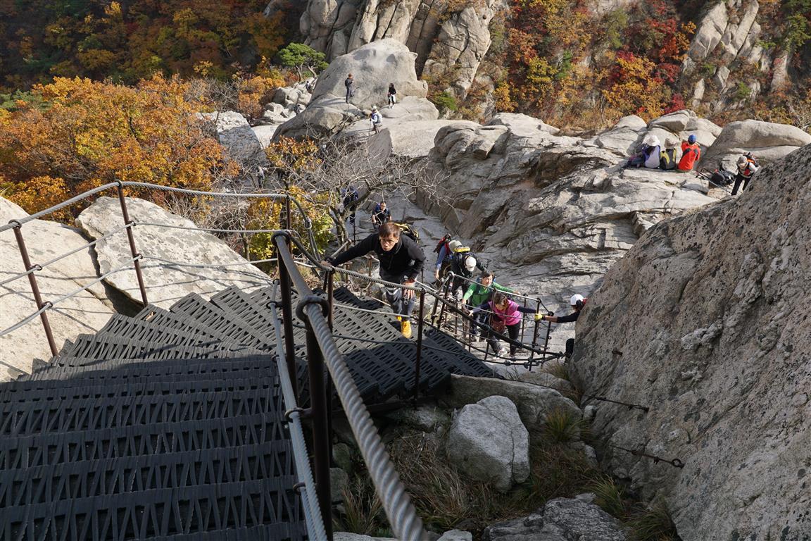
Environ 300 m avant d’arriver au sommet de Baegundae (dans le parc national de Bukhansan près de Séoul, Corée du Sud), une porte de forteresse et divers balisages indiquent le chemin. De ce point, tel que mesuré par un enregistreur GPS, on monte environ 230 m pour atteindre le sommet. Peu importe la façon de calculer, c’est raide. Il serait d’ailleurs impossible de graver ces derniers mètres sur un rocher lisse sans l’assistance de câblages et d’escaliers. Mon seul regret – je n’avais pas de gants pour tenir les câbles qui, alors, ne se gênaient pas pour bruler les mains.