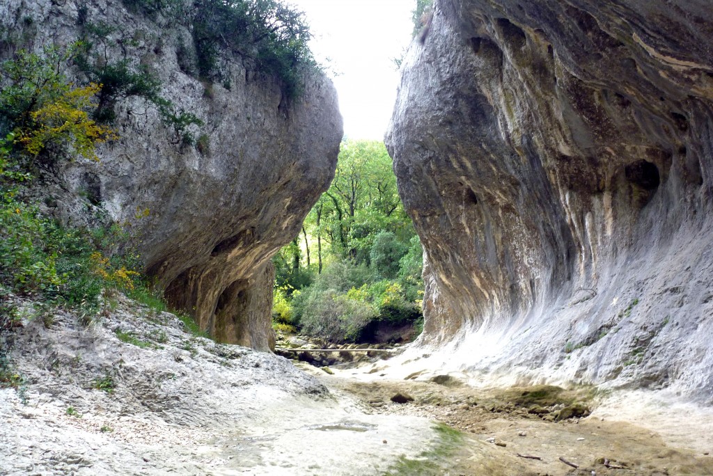
Near Lussan in the Gard department of France, there is a limestone plateau about 15 sq km in size. Rivers flow off the plateau through ravines and sometimes through underground channels. One of these ravines is called the Concluses. During most of the year it is impossible to take the picture below due to water flowing through the ravine. In a dry autumn spell, with luck and good timing it was possible to enter and follow the dry bed for about 300 m.

Lussan, dans le Gard, se situe sur un plateau calcaire d’environ 15 km carrés. Des rivières trouvant leur source sur le plateau s’échappent par des gorges et des voies souterraines, parfois formant des ravins profonds. Près de Lussan, dans les Concluses, (gorges de l’Aiguillon), c’est souvent impossible de prendre la photo présentée ici car le site est presque toujours sous l’eau. A l’automne, avant le début des pluies, si août et septembre ont été très secs, on arrive à descendre le ravin à pied sur 300 m.